Take Action
The National Risk Index can help you understand natural hazard risks in your community, so you can reduce your risk.
Learn how the Risk Index can help
Understand Your Risk
Traditional risk assessments may only address one hazard type at a time. Or they might only target the most vulnerable areas. The National Risk Index combines natural hazard loss estimates for 18 hazard types with community risk factors. This gives a holistic view of risk for communities nationwide.
To lower your community's risk, you need to understand the factors that increase your overall risk:
- Higher Expected Annual Loss
- Higher Social Vulnerability
- Lower Community Resilence
Use the interactive National Risk Index Map and data to review your community's hazard risks.
Even if your community is not at high risk from a nationwide perspective, there still may be significant risks or gaps to address. This can be based on your community's specific characteristics. Experiences with natural hazards also play a role.
Reduce Your Risk
Once you understand the potential impacts to your community, learn how you can reduce your natural hazard risk. Anyone can take action. This includes planners, emergency managers, community leaders, decision makers and property and business owners.
Learn how you can reduce your risk through other resources and tools.
Explore Best Practices
Communities use National Risk Index data to assess their risks and determine the best strategies to address them.
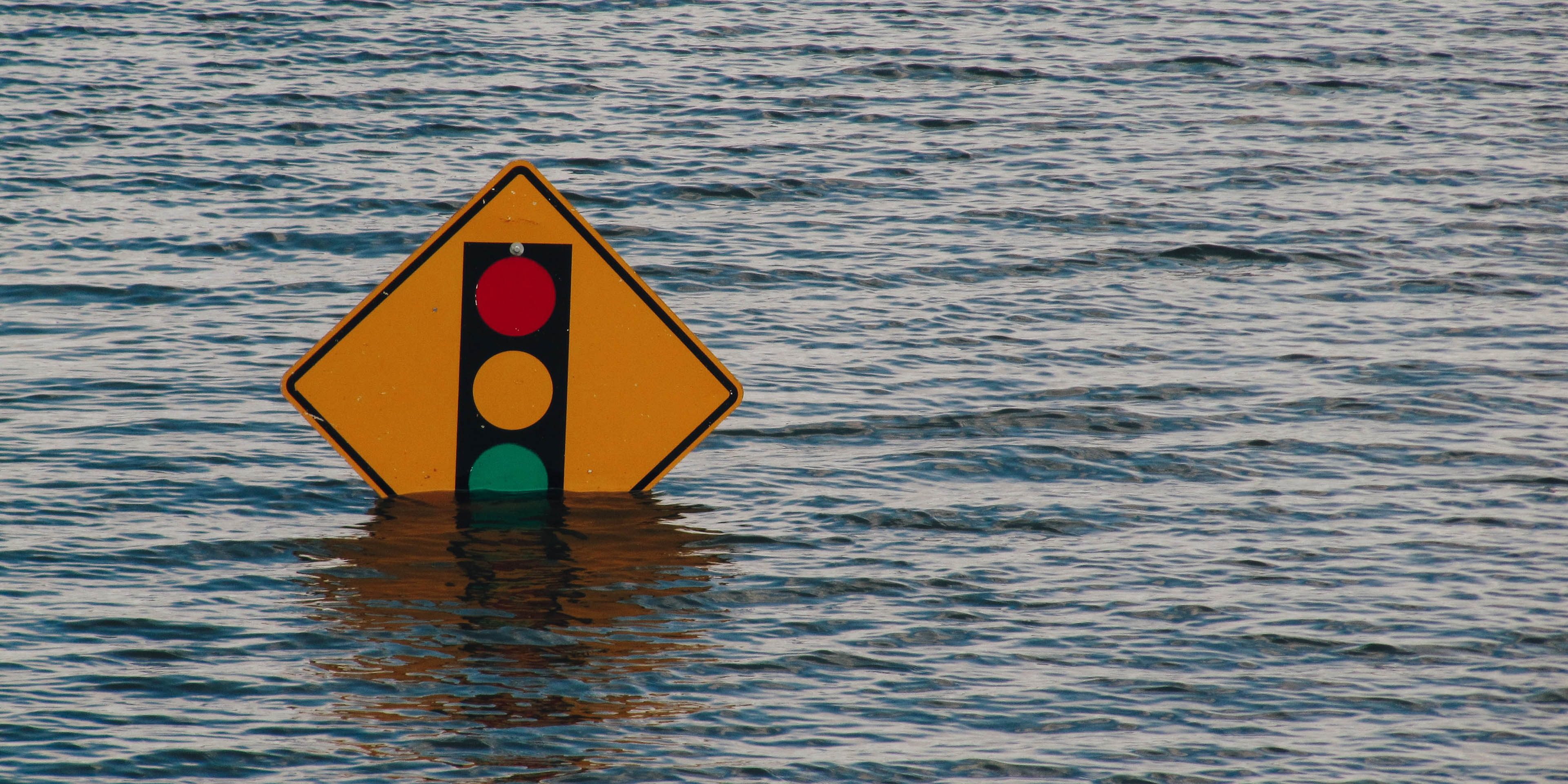
Maryland Coastal Flooding Hazards
The island communities off the coast of Maryland often face coastal flooding and other hazards. The Maryland Department of Emergency Management (MDEM) used Risk Index data to identify and prioritize communities with limited emergency access.